Project Description
Context of the project
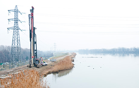
The project is located on a bend in the River Uruguay, at kilometer 106, on the South bank. It is close to the town of Fray Bentos and approximately ten kilometres from the General San Martin international bridge that links this town with Port Unzé and Gualegaychú in Argentina.
Description of the project
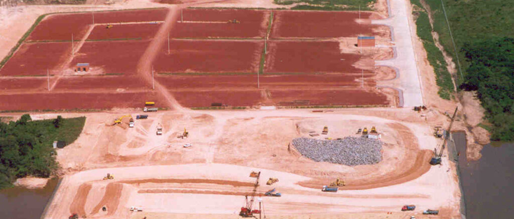
This is a river port which, in its initial phase, will include a 193m long quay and a storage facility covering over 11 hectares. In addition, the facility will include 1,000m2 of buildings, 7km of access roads, a sewerage system, a potable water production plant, firefighting equipment, lighting for access and storage areas as well as a lagoon for storing waste fluids.
Our solution
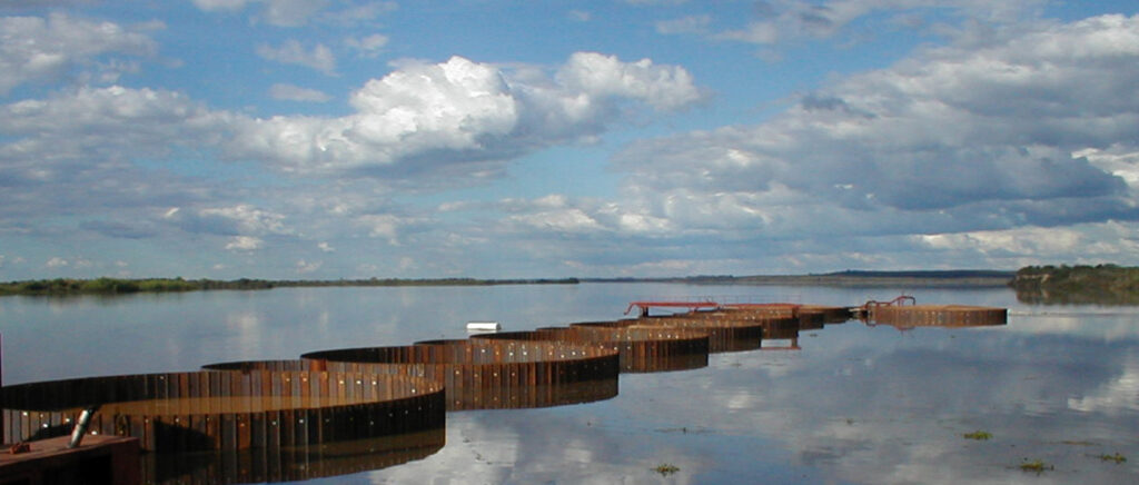
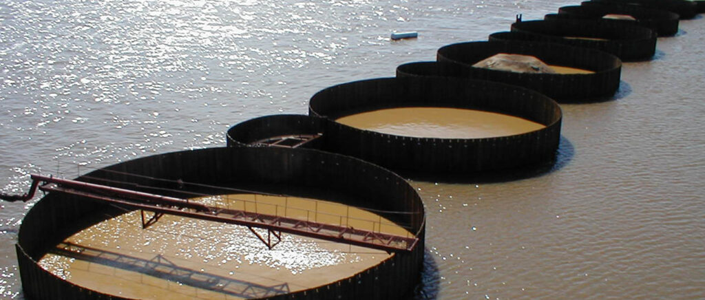
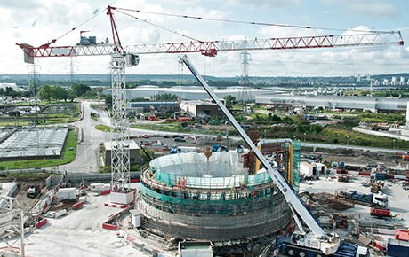
The quay runs parallel to the river. It consists of a continuous cellular structure comprising 10 circular caissons, each having a diameter of 20m and interconnected by 9 connecting cells that have an arc of a smaller diameter.
The caissons and their connecting cells are constructed using sheet piles of depths varying from 11 to 22m and an embedment varing from 3 to 8m.
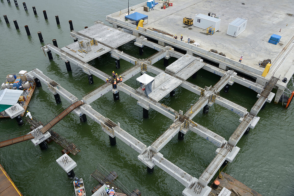
The quay has a reinforced box girder type concrete capping beam with intermediate partitions. The fenders and mooring stanchions are anchored to this structure which bears on both the sheet piles and the backfill inside them.
A piles dolphin has been constructed at each end of the quay for mooring very long vessels. Each dolphin is a circular caisson identical to the caissons that form the cellular quay, with the same diameter and using the same backfill material.
All the cells are filled with granular backfill in order to ensure that the overall structure is capable of withstanding vertical loads and surcharges, horizontal ground pressure and static, dynamic and impact loads from vessels using the facility.
The main section of the quay is located at approximately 150m from the natural river bank in order to obtain the draught required by the vessels that are expected to use the facility.
Two stone cofferdams at right angles to the line of the river, one upstream and another downstream, connect the quay to the river bank.
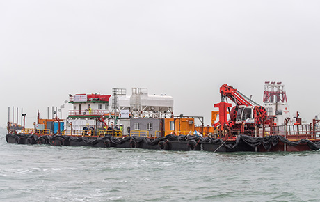
The enclosure thus formed by the quay, the river bank and the cofferdams is hydraulically backfilled with 120,000m3 of sand brought in bybarge.
Above the sheet pile cut-off, the sand fill is covered with a layer of compacted silt which acts as the sub bas e for the roadway.
The first 50m wide strip behind the quay will be the most heavily loaded due to its use by cranes and other port machinery. It was hence decided to cap this area (and the peripheral roadways) with 25cm thick prestressed concrete slabs, covering a total area of 15,000m2.
Key figures of the project
ForSHORE, Soletanche Bachy’s port expertise
ForSHORE supports its customers in their projects to build and repair port infrastructure with a strong geotechnical component. These general contractor solutions cover the four stages of port infrastructure projects:
- finance
- design (with environmental resilience)
- build
- asset management
